 vesseltracker.com
Find the position of the vessel ATLANTIC EAST on the map. The latter are known coordinates and path.
marine traffic ship tracker show on live map
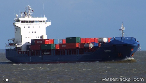
The current position of vessel ATLANTIC EAST is 37.44712 lat / 122.19405166667 lng. Updated: 2025-10-30 03:40:04 UTCCurrently sailing under the flag of Singapore
ATLANTIC EAST built in 2008 year
Deadweight:
8124 tDetails:
Last coordinates of the vessel:
UTC, 37.447116666667, 122.19405, course: 225, speed: 0UTC, 37.447116666667, 122.194055, course: 225, speed: 0
UTC, 37.447113333333, 122.194035, course: 225, speed: 0
2025-10-30 03:40:04 UTC, 37.44712, 122.19405166667, course: 225, speed: 0